Outdoor Activities
Carn Daimh Forest (Walk 6)
12km/7.5 miles Allow 4 hours
It is likely that both sheep and cattle will be encountered on this walk – please follow the Scottish Outdoor Access Code. Also check field before entering and detour to avoid cattle if necessary. Keep dogs on a lead or under close control and if threatened by cattle release your dog.
Start: Glenconglass car park (Nr Tomintoul): NJ 171 224. Follow the Orange Waymarkers with the hill logo.
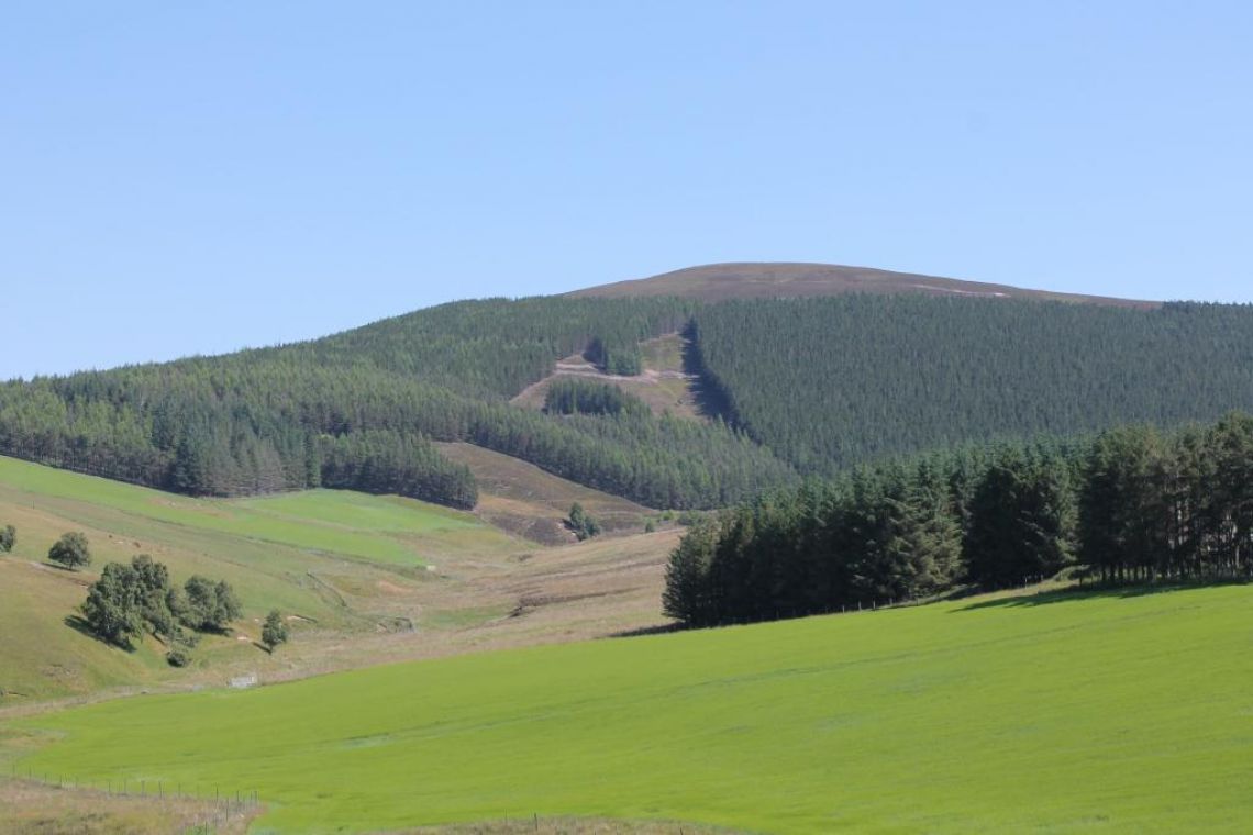
From the car park, follow the road across the cattle grid, northwards keeping left along the forestry track where the road forks. Continue straight on following the track as it runs parallel with the Chabet Water on the right. The track continues relatively straight as it enters the Carn Daimh (pronounced Cairn Dye) forest and continues along the glen. Two ponds on the right help increase the range of habitats for wildlife in the area. Osprey have been spotted fishing here and heron are regular visitors.
Ignore the track joining from the left and continue straight until you reach the next junction where the road turns to the right. Take the right turn at the junction and follow the road down a short brae to a bridge which crosses the Chabet Water. Cross the bridge and follow the road as it winds its way steadily up through the Carn Daimh plantation. About 1.5km from the bridge the road turns sharply to the left, before passing a small quarry just hidden from view. The rock of Carn Daimh is an orange coloured, hard, quartzite rock – a metamorphic rock formed over 500 million years ago from sedimentary sandstones. Continue past the quarry taking the right fork and climb steadily upwards to the next junction. Turn right at the junction and continue heading uphill, before following the track as it swings round to the right and becomes rougher, as you continue to ascend.
On emerging from the trees the track becomes rocky underfoot and the views start opening up. Cross the boundary fence on your left at the stile and complete the short distance to the summit cairn where a viewpoint indicator describes the panorama of hills that can be seen on a clear day. From the summit follow the Speyside Way along a gently sloping track to the south-east, which leads to the Cairn Ellick plantation. Enter the woods and continue along the track until you reach a signpost at a junction. Turn right here, still following the Speyside Way (signposted to Tomintoul).
The track soon leaves the woods and descends gradually across the open heather moorland, overlooking the Fèith Musach and it’s peat workings. Where rough grassland is mixed with the heather, in spring and summer you will most certainly hear or see meadow pipits, lapwings, skylarks and curlews whose vocal calls often fill the air.
About 1km after leaving the shelter of the Cairn Ellick woods, leave the Speyside Way and turn right (west) along the waymarked path (indistinct in places), which descends through the heather. The path heads down towards the woodland plantation, running parallel with the forest edge for a short distance. Enter the recently clear-felled and replanted wood through the gate in the deer fence. Follow the path emerging through another gate to cross a field and reach the Chabet Water. Cross the footbridge near the farm, then head up and right and through the farmyard to return to the car park.